
Charleston Neighbors by Parcel
For a Charleston block, public records are strongest when they stay tied to a selected parcel. County GIS supplies boundaries and nearby TMS numbers. The Auditor and Tax Site supply owner and property-tax facts for each parcel. The Register of Deeds supplies the recorded party and conveyance trail. City mapping adds jurisdiction and association geography. CCPL offers older, date-specific address evidence. Together, those sources describe property and historical context, not an occupancy list for your neighbors.
| Block source | What it shows about a block | Access |
|---|---|---|
| County Parcel Viewer | Parcel outlines, adjoining TMS numbers, selected geography, and map context | Free map; it maps parcels, not people. |
| Auditor Property Cards and Tax Site | Owner fields, situs, tax-mailing function, and property context for a selected parcel | Free search; an owner or mailing field is not proof of current presence. |
| Register of Deeds | Recorded parties, legal description, book-page, and transfer history | Online routes plus counter, archival, and film access for older work. |
| City MAPNET and association map | City inclusion, district context, and neighborhood-association geography | City GIS context only; association membership is not assumed public. |
| CCPL reverse directories and voter ledgers | Historic listed names and municipal-voter evidence from defined years | Library or archive material, not a current block roster. |
An owner field may name an individual, a trust, or a business entity. A tax mailing address can be outside the parcel's situs, because it serves tax correspondence. Neither item establishes a full present-day account of Charleston neighbors, and neither should be converted into one.
Charleston Parcel Boundaries
The Charleston County Parcel Viewer accepts an address, street name, owner name, or parcel number. Search the target address or TMS, zoom to the selected parcel, and click it to open the parcel summary. The Parcel ID hyperlink provides a bridge to county tax information. Shared boundary lines, not a text-only next-door result, are the defensible way to identify the immediately adjoining parcels.
The Parcel Viewer image below shows the same universal-search and map-selection environment used for a Charleston neighbors question. Use Layers and Imagery, Measure, Print, and Street View only as geographic context; the help does not publish a complete static inventory of every live layer.
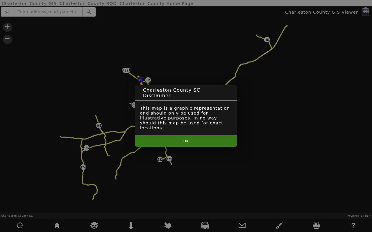
Once a parcel is selected, its geometry and nearby parcel lines can guide a careful block review. The GIS result does not list all people connected to the surrounding addresses, but it does provide the parcel keys needed for official property records.
Charleston Neighbor Buffer Tools
A slightly wider Charleston neighbors question can use the Parcel Viewer's Buffer distance control. Enter a distance in feet and select Buffer to expand the map selection. Parcel Labels, Address Labels, Create Mailing Labels, and Save Labels to CSV can then operate on the chosen parcels. The selected-parcel count is a geography result, not a count of people or occupied addresses. Measure can supply distance, area, or coordinates when the physical shape of a block matters.
City geography needs a separate check. Charleston extends across several areas and county jurisdictions, so a postal city line does not by itself establish City inclusion. MAPNET and the City jurisdiction route add municipal context, while County GIS remains the parcel source. That distinction is especially useful before relying on City permits or association-map context.
Note: Keep a buffer limited to the parcel question at hand, then open each selected parcel individually before recording any owner fact.
Charleston Neighbors Through Parcels
Use this short process to move from one address to the immediate parcel context. It preserves the difference between a land record and a claim about Charleston neighbors. If the question expands to a whole named street, use the separate address chain on the Charleston street directory rather than stretching a block map beyond its purpose.
- Find the target address or TMS in County Parcel Viewer and click the parcel to retain its TMS and boundary.
- Click each parcel sharing a boundary. Save only the adjoining TMS and official owner or parcel facts shown through the linked county route.
- Review the Property Record Card or Tax Site for situs, tax-mailing function, legal description, and current record context. Do not recast a mailing address as evidence of physical presence.
- When a recorded transfer matters, search the ROD by owner and date or by book-page reference. Compare the legal description and parties before treating two records as the same parcel.
For an older conveyance, the ROD's online index and image dates do not cover every period. Its physical records cover 1719-1960 and film or microfiche covers 1960-2005, so an older parcel question may need the counter or archival route. A title chain is about recorded land transfers, not a census of present occupants.
Charleston Neighborhood Civic Context
For community context, City GIS publishes neighborhood-association map resources and the City Neighborhood Commission/Council describes seven municipal sectors: two downtown, three in West Ashley, Daniel Island/Cainhoy, and James/Johns Islands. The network includes 120 democratically organized associations with boundaries. Those facts help locate an appropriate civic contact or association area. They do not establish a public member roster or consent to use association information as a Charleston neighbors list.
| Charleston civic route | Useful contact context | What to verify |
|---|---|---|
| City Neighborhood Commission/Council | Seven-sector municipal neighborhood framework and association context | Current sector and association status before relying on a contact route. |
| City GIS neighborhood association map | Association geography and City mapping context | Whether the target parcel is in the mapped area and whether a contact is officially published. |
| Individual association official page | Association-specific public contact or meeting information, if the group publishes it | Consent, currency, and the association's own boundary before making contact. |
The association map is therefore a boundary tool first. It can identify civic context for Charleston neighbors without claiming access to private membership records.
Charleston Block Documents
Within City jurisdiction, City GIS Document Search can search City-held material by property or street terms. Its interface supports a search key and required search text, including partial street terms such as a number and street stem. A City result can lead to plats, permits, ordinances, or scanned records, but it does not cover every plat or every place with a Charleston postal address.
This City Document Search image shows the address-and-street route for checking municipal records that can add block context.
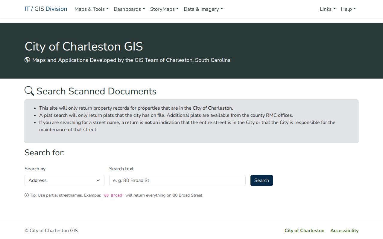
Use a documented City result to understand the particular record it returns. County parcel and ROD sources remain necessary for countywide property facts and recorded transfers.
Charleston Neighbors and Voter Records
South Carolina's official MyscVOTES route is not an anonymous street roster. The current voter-information login requires county, first name, last name, date of birth, and the last four digits of the person's Social Security number. It supports a voter's own registration, polling, and voting-history services. A no-match can reflect differences in name, date, county, or credentials, and it should not be treated as a conclusion about a block.
State voter-file orders are restricted to registered South Carolina voters under S.C. Code section 7-3-20(D)(13), with separate criteria and statutory use limits. Section 30-2-50 prohibits obtaining or using public records for commercial solicitation directed to a person in the state. For historic work, Charleston Archive election ledgers from 1877 and 1879 are a defined archival collection, not a modern Charleston neighbors tool.
Charleston Neighbors in Old Directories
Historic reverse directories are the right channel for a date-specific block snapshot. CCPL's Charleston collections include an 1840-41 street cross index and street or reverse listings from 1890 onward. These records can place a listed name at an address and show nearby printed entries for that volume year. They are especially useful when a street number is tested alongside its immediate neighbors rather than assumed to have one fixed meaning through time.
The Charleston Archive's municipal voter ledgers for 1877-79 are another historical route. The published alphabetical index to the 1877 precinct ledgers identifies 7,189 names, but the material documents a particular past municipal election setting. It does not identify the present residents of a block.
Charleston Neighbor Source Comparison
Official records and commercial neighbor-lookup categories answer different questions. A property record has a named custodian, a defined parcel, and a stated purpose. A commercial listing may combine material from varied sources and can be incomplete, delayed, or hard to connect to the underlying record. When a fact matters, return to the Charleston County custodian or City source rather than relying on a compiled listing.
| Source type | Best use | Check before relying |
|---|---|---|
| Official parcel, tax, deed, and City records | Confirm a defined property fact, recorded transfer, or City-held case | Match the TMS, legal description, date, and custodian scope. |
| Commercial neighbor-lookup category | General lead only, if any | Verify against the official custodian; do not assume completeness, current presence, or lawful reuse. |
| Historic directories and ledgers | Place a person or address in a specific past edition or record group | Check date, numbering history, and whether the item is an index, transcription, or original. |
A source's scope matters as much as its search result. Keep the parcel key and record date with each fact so a later check can return to the correct Charleston custodian.
Charleston Neighbors Privacy Boundary
Parcel and owner facts have firm limits. They do not disclose every person associated with an address, utility or delivery information, motor-vehicle addresses, protected vital material, or sealed court information. The South Carolina Address Confidentiality Program provides eligible participants a designated address that agencies and courts must accept. It does not remove earlier public records, but it is a clear reason not to use a public result to watch, pressure, or contact a person.
Lawful use. Use Charleston neighbors records for lawful personal, historical, property, or civic research. South Carolina law prohibits stalking or harassment that intrudes into another person's private life without legitimate purpose.
Charleston County Public Index material also excludes sealed or confidential records, and home addresses stopped displaying there on January 1, 2026. Protecting those boundaries is part of accurate research, not a gap to work around.