
Charleston Previous Residents Sources
Charleston previous residents leave different records in different eras. Start with the current Charleston parcel key, then choose the record that fits the date. The Charleston Register of Deeds records conveyances, CCPL’s directory and reverse material can place listed occupants at an address, and Charleston maps or ward material can test whether an old number refers to the same place. No source creates a complete list of everyone who lived at an address. The value comes from comparing its date, purpose, and limits with the next source in the trail.
| Source | Years | Where Held | What It Shows |
|---|---|---|---|
| Charleston ROD deeds and tracer records | 1719 to present; online index and tracer data from 1978 through August 31, 2026 | Charleston County Register of Deeds portal, counter, archival room, and film | Conveyance parties, legal description, record date, and book or page reference |
| Charleston ROD online images | October 1994 through August 31, 2026 | Charleston ROD document-search route | Online deed, mortgage, and miscellaneous document images within the stated span |
| Charleston historic deed access | Physical 1719 to 1960; film or microfiche 1960 to 2005 | Charleston ROD counter and archival channels | Older recorded documents beyond the web image range |
| SCDAH Charleston conveyances | 1673 to 1719 | SCDAH catalog and Research Room | Earlier land-provenance route |
| Charleston CCPL directories and reverse sections | Directories 1782 to present; street material in 1840 to 1841 and from 1890 | CCPL books, microform, and licensed database | Listed occupants, street numbers, and nearby names |
| Charleston Sanborn maps and City permits | Sanborn years 1884 to 1955; permits 1932 to 2016 | CCPL and City Records Center | Building, lot, address, and project chronology clues |
A web result is only one era of the Charleston record. The Charleston ROD directs older work to physical books, film, microfiche, or archival access, while CCPL and SCDAH hold related Charleston historical material. Use the exact Charleston date band before deciding which counter, catalog, or reel is the appropriate fallback.
The ROD type-and-date search information is the source for this Charleston Register of Deeds image and the documented online coverage limits.
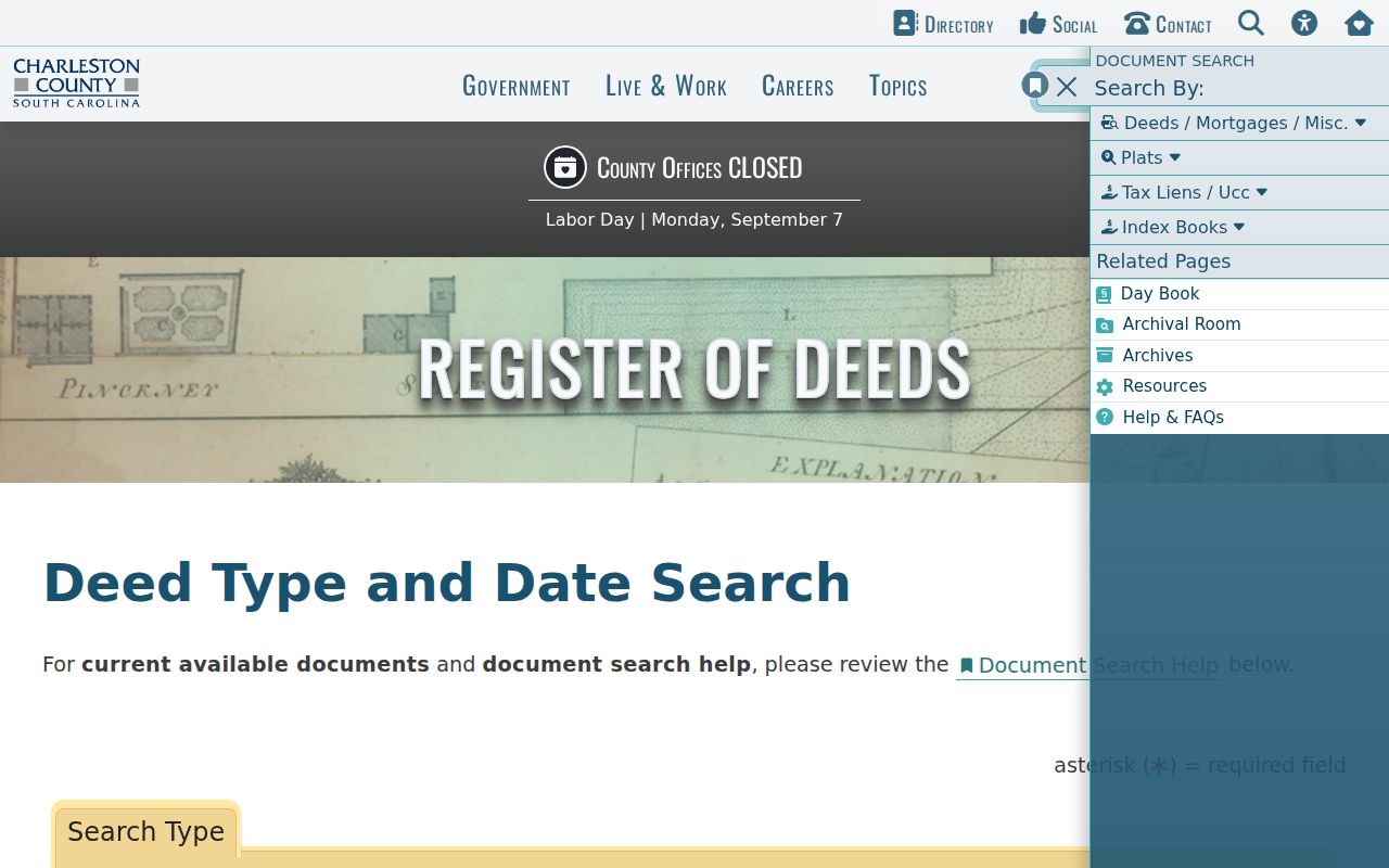
The coverage notice separates an index result from an image and both from the older counter or film route.
Charleston Past Residents by Era
The online Charleston ROD trail is powerful but it is not the full Charleston chain. Index and tracer data begin in 1978, while online deed, mortgage, and miscellaneous images begin in October 1994. The office reports physical access to Charleston 1719 through 1960 records and film or microfiche for 1960 through 2005. CCPL adds Charleston published deed abstracts for 1719 through 1788, and SCDAH holds Charleston conveyances from 1673 through 1719. A failed online search can therefore identify a cutoff, not the absence of a conveyance.
For early Charleston work, deeds are often indexed by surname rather than a modern address. CCPL describes eighteenth- and nineteenth-century Charleston deeds as surname indexed, with twentieth- and twenty-first-century records indexed by geographic location. Search the people and legal description that lead to the Charleston parcel, then move outward to adjoining properties when the description is vague. This is more reliable than treating a current street number as a permanent historical key.
Note: Record the portal’s date limit before deciding that a missing online image means no Charleston instrument was recorded.
Charleston Resident Deed Path
For Charleston previous residents, the deed chain begins with Charleston property facts, not an assumption about occupancy. The Auditor Property Record Cards and the Charleston County Parcel Viewer can supply a parcel or TMS number, current owner spelling, and the legal description route. A situs address is the Charleston property’s physical location. An owner mailing address is used for tax correspondence and can be somewhere else. Neither field proves that a particular person lives at the property.
- Search the Charleston County Parcel Viewer by address, street, owner, or parcel number. Save the TMS, boundary context, current owner spelling, and the situs separately from any mailing address.
- Check the Auditor or County Tax Site for the property record and legal-description clues. Use that information to form the ROD name, date, book, page, or tracer query.
- In ROD search, look for the current owner as grantee or buyer. The purchase deed normally names the former owner as grantor or seller.
- Copy instrument type, record date, book or page reference, party spellings, legal description, and plat references. Open an online image when it is within coverage; otherwise use the ROD counter, archival, or film channel.
- Find the earlier owner’s acquisition and repeat the comparison. Check the lot, legal description, adjoining parcels, ward history, and street numbering rather than relying on a single address string.
- When ownership changes through an estate, look for a Probate will, estate, deed of distribution, or court order. Do not assume every change was an ordinary sale.
- Grantor and grantee
- The grantor is the party conveying an interest. The grantee is the party receiving it. In a purchase, the earlier owner is commonly the grantor and the buyer the grantee.
- Chain of title
- A dated sequence of recorded transfers for the same land or legal description, read backward from a supported current record.
- Legal description
- The lot, block, subdivision, plat, or other land description used to identify property in a recorded instrument. It often outlasts a changed street number.
- TMS
- A county Tax Map Number or parcel identifier used to connect property-card, tax, and map records.
Charleston Past Household Directories
Owners and occupants can follow different paths. A recorded deed documents parties to a conveyance, while a directory’s street or reverse section can list an occupant for the year printed. CCPL’s special 1840 to 1841 street cross index and the reverse sections available from 1890 onward are the address-in channels. Read the target number with adjoining listings across several editions. A temporary occupant may never appear in the ROD chain, and a deed party may not be the person listed in a directory.
CCPL’s city-directory collection is the source for this Charleston directory-research image and for its documented street-section years.
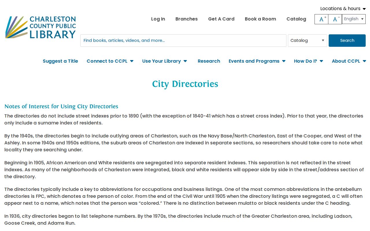
Directory coverage and format vary by year, so save the printed locality and volume date with every address observation.
Pair the directory year with a federal census year when available. CCPL’s historic-property guidance describes a ward or enumeration-district process: use the address-era location to locate the right page, then read the vertically written street and number alongside the named household. Census schedules from 1880 forward can include an address, but the images are not indexed by street. The Charleston city directory collections explain the individual volumes and their access formats.
- Choose the closest CCPL directory year and transcribe the printed name, street spelling, number, and nearby entries.
- Check the address in another nearby volume, using the reverse section when that era has one.
- Test any change against the historic numbering chronology and ward or tax material.
- Use the supported ward or area to find the census page, then compare the household snapshot with the dated directory listing.
- Keep directory evidence and title evidence in separate notes before deciding who lived there before.
Charleston Ward Books for Residents
Charleston ward books add a geographic sequence that a surname index cannot. Charleston City tax Assessor Ward Books for 1852 through 1856 are divided by ward and indexed by street. Names appear in geographic or walking order, and street numbers may be incomplete. Charleston County assessment records from the 1870s onward are available on microfilm in the South Carolina Room. The 1858 and 1859 Charleston tax-payer lists are alphabetical and identify taxable belongings and real-estate value, but they do not give an address.
Use ward order and nearby properties to test a difficult Charleston address. That method is especially helpful where a deed carries a broad description, a number changed, or the 1861 Ford directory points to its own nonofficial numbering scheme. Ward material is supporting evidence, not a replacement for the legal description and recorded conveyance chain.
Charleston Resident Map Trail
Charleston Sanborn maps help date the building and number, not the people. CCPL identifies Charleston Sanborn years of 1884, 1888, 1902, 1929, 1944, 1951, and 1955. Their sheets can show street numbers, lot dimensions, building placement, use, materials, and an index. Charleston City Records Center permits from 1932 through 2016 and Certificates of Occupancy from 1978 through 2015 can add a project or alteration timeline. A permit’s named contact is not proof of title or residence.
CCPL’s digitized Sanborn Maps route supports Charleston previous residents research when an address needs to be tested against the building and its lot.
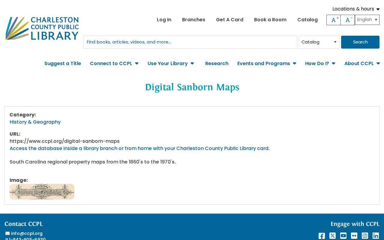
Use the map year with a directory year and a legal description to avoid joining two buildings that merely share a later number.
CCPL’s historic-property guide is the source for this Charleston previous residents image and its supporting map, tax, directory, and deed routes.
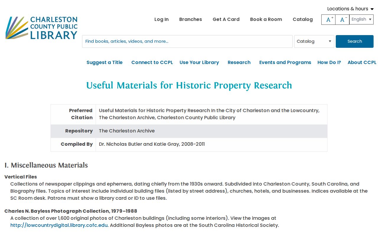
Its ward books, tax records, plats, and maps are especially useful when a modern parcel has older subdivisions or merged lots behind it.
Charleston Address Number Changes
Charleston previous residents research has a local address trap. Buildings had no numbered addresses before and during the Revolution, and the earliest known numbers appear in the mid-1780s. Council ordered numbering south of modern Calhoun Street in 1848, then gradually aligned the annexed Neck after 1850. A broad survey and renumbering project was substantially finished by January 1886, creating the basis for most current peninsular numbers. The 1901 centigrade plan caused confusion and was effectively abandoned, and a 1983 9-1-1 project corrected some irregularities.
The 1861 Ford directory used a house-number arrangement but not an officially adopted City system. When an old and new address seem to conflict, CCPL recommends tracking immediate neighbours and ward-book order over several directory years. That comparison can reveal whether a number changed, a lot changed shape, or the records identify different locations.
Charleston Archive’s street-number guide documents this Charleston previous residents problem and its recommended comparison method.
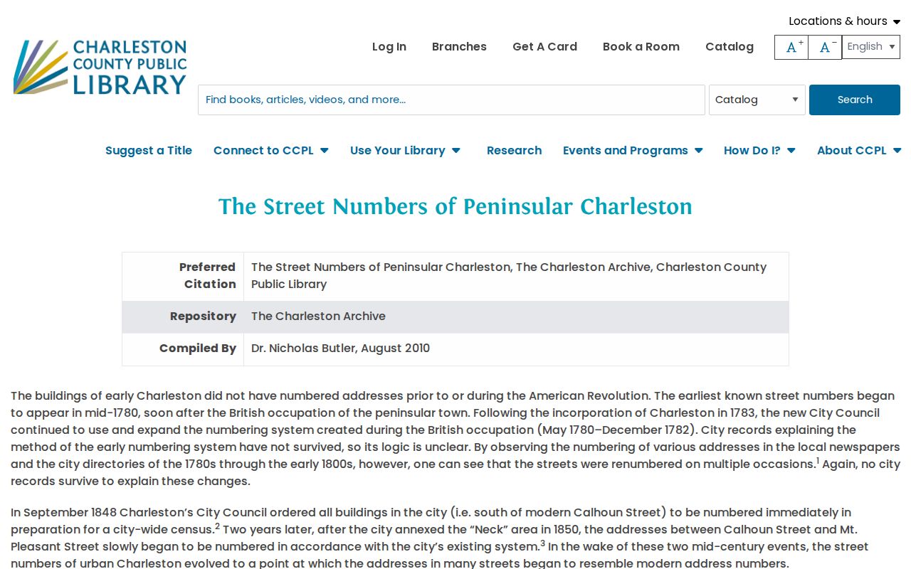
Address history is a check on the evidence, not a shortcut around parcel, deed, directory, and map comparison.
Charleston Previous Residents Endpoints
A Charleston previous residents trail sometimes ends in a death, estate, or departure record. CCPL holds City death returns chiefly from January 28, 1821 through December 31, 1926 and Magnolia Cemetery microfilm for 1838 through 1979. Its Charleston newspaper collection spans 1783 to the present for cardholders. The DPH death route and Charleston County Probate estate or will records are separate official channels. Check the time period, name, address, and source type before connecting an obituary, cemetery entry, death return, and deed record to one person.
Probate is particularly important where a land interest passed through an estate. A deed of distribution may connect an estate file to the ROD and explain a title change that an ordinary purchase search cannot. CCPL’s WPA and CWA transcriptions of wills, inventories, and miscellaneous records can offer an early lead, but original records are held at SCDAH. Use a transcription as a finding aid and follow its record citation to the custodian where possible.
Lawful use. Use Charleston previous residents research for family history, estate questions, property history, or personal curiosity. Do not use records to stalk, harass, or harm any person.