
Charleston Streets by Address
A street-by-street search works best as a record trail. Begin with the street number and street name in the Charleston County Auditor Property Record Cards, then save the parcel or Tax Map Series number, called a TMS. The Parcel Viewer can place that parcel on the block and link to tax information. A current owner field is a property fact, not a statement that the person is currently present there. Recorded instruments can then confirm a transfer, while historical street sections at the library may identify a past listed household.
- Enter the number and street name in the Auditor portal. Save the TMS, street form, and owner fields shown in the result.
- Search that address, TMS, or street in the County Parcel Viewer. Click the target parcel and note adjoining parcel numbers when block context matters.
- Use the owner spelling, legal description, book-page reference, or date range in the Register of Deeds search to locate the recorded transfer.
- For a City address, check CSS or City Document Search for a permit, inspection, code case, plat, or municipal document. A named contact is tied to that case, not automatically to title or present occupancy.
- For an earlier period, consult CCPL's street cross index or reverse listings, and test the number against the relevant address era before matching a past household.
South Carolina voter self-service is credentialed for a voter's own information, not an anonymous street browse. It should not be treated as a shortcut around the parcel and historical-record trail.
Charleston Street Directory Keys
The Auditor Property Record Cards offer distinct owner, address, TMS, and sales-date routes. For a Charleston street directory search by address, the street name is required. The instructions permit first letters, say not to enter a street type, and advise spelling out a numerical street name on the first attempt. The TMS form expects ten digits, or ten digits followed by A or B, with no spaces or separators. Basic deed-transfer data on this legacy portal reaches back to 1991; the County Tax Site is the route the Auditor identifies for current ownership and ownership history.
| Auditor field | Input | Required | Charleston format note |
|---|---|---|---|
| Street Number | Text | No | Use the address number, such as 4045. |
| Street Name | Text | Yes for address search | First letters work; omit the street type and spell out a numeric street name first. |
| Parcel ID (TMS) | Text | Yes for TMS search | Enter ten digits, or ten digits plus A or B, without punctuation. |
| Owner fields | Text | No | Last, first, and middle-name fields narrow an owner query; do not use punctuation in a name. |
| Sales Date | Separate route | No | Opens the portal's sales-date search. |
The Auditor search screen is shown below with those separate routes. Its result grid can display street name and number, current owner fields, owner-as-of-January-1 fields, and TMS, so it is useful for forming a property record trail.
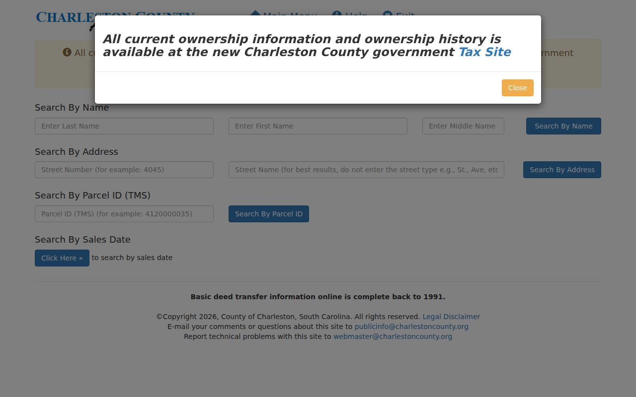
Those columns identify parcel and owner data only. They can include an individual, a trust, a company, or an empty owner slot, and they do not list every person associated with the address.
Charleston Streets on the Parcel Map
The Charleston County Parcel Viewer accepts a parcel number, address, street name, or owner name in one universal search. After zooming to a hit, select the parcel on the map and use its Parcel ID hyperlink for tax information. The viewer documents Layers and Imagery, Print, Street View, and Measure tools for distance, area, or coordinates. Those controls establish map context. They do not create a street directory of people.
This Parcel Viewer screen shows the map-based address workflow. Search the street when comparing nearby parcels, but open the selected parcel before carrying a TMS into property or deed research.
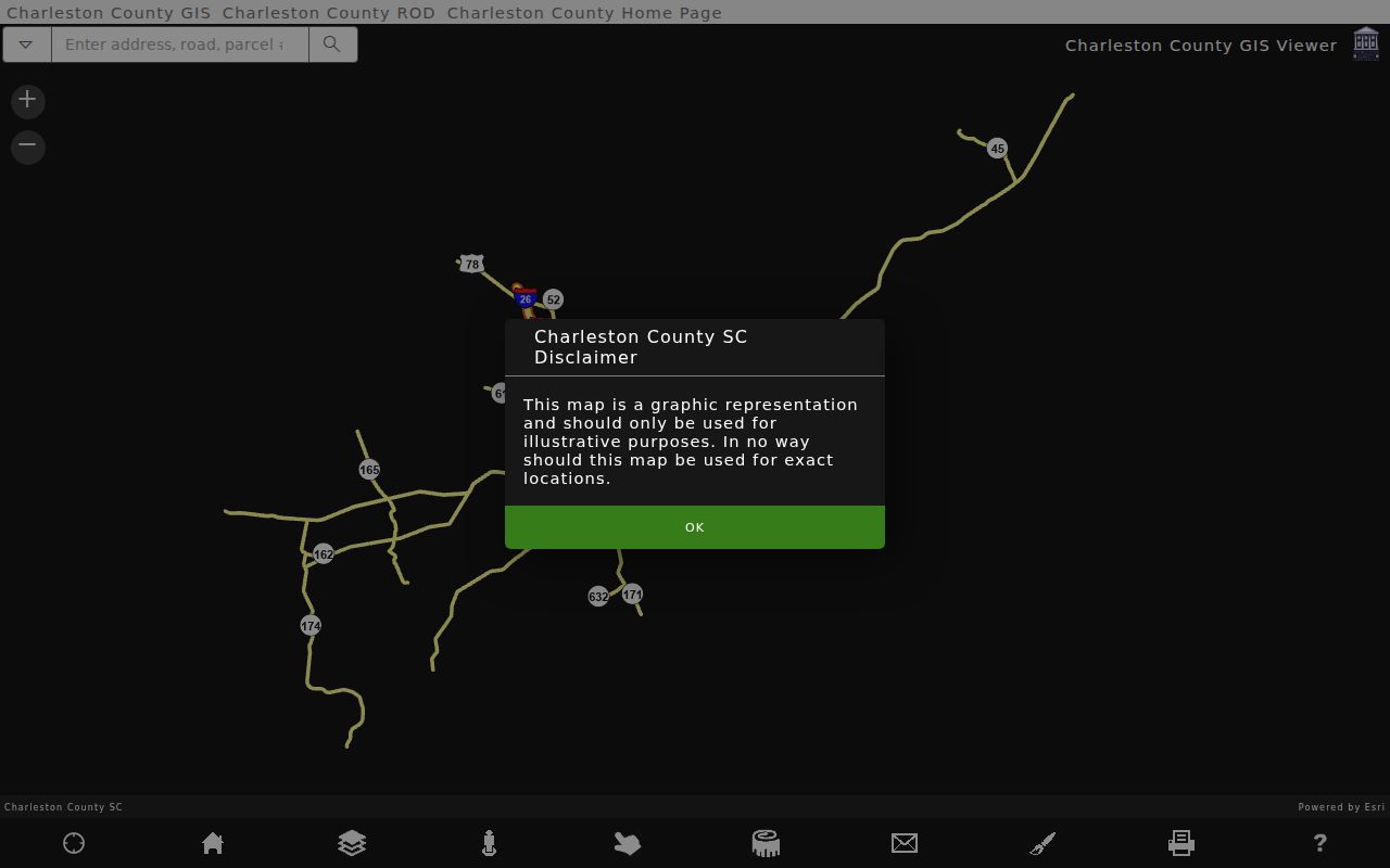
The map also offers parcel labels, address labels, mailing-label creation, CSV label export, and a Buffer distance control measured in feet. These are geographic tools. A label or buffer result remains a selection of parcels, not a statement about every household along the road.
Note: Check the live Layers panel when a particular district or overlay matters, because the static help does not list every current layer.
Charleston Street Record Coverage
Different address-linked records answer different questions. The property card and Tax Site are the fastest current entry points. The Register of Deeds preserves the legal conveyance trail. City systems can document an address-related project or record, subject to City jurisdiction. CCPL's historical material supplies older street and household context. Put the sources in sequence rather than asking one result to prove more than it records.
| Address-linked source | Custodian | Street fact shown | Access and boundary |
|---|---|---|---|
| Property Record Card and Tax Site | County Auditor and Treasurer | Owner fields, TMS, situs, tax-mailing function, transfer or tax context | Free address, name, or TMS routes; owner is not necessarily an occupant. |
| County Parcel Viewer | Charleston County GIS | Parcel boundaries, selected parcel, adjoining TMS, mapping context | Free map search; a parcel map is not an occupancy register. |
| Recorded deed or mortgage | Charleston County Register of Deeds | Parties, instrument date, book-page, legal description, image where available | Web index/tracer data from 1978 and images from October 1994; counter and film fill earlier periods. |
| City permit, inspection, or code record | City CSS, City GIS, Records Center | Address/TMS case, project status, dates, and documented case details | City holdings only; a case contact is not title or present-occupancy proof. |
| Street cross or reverse directory | CCPL Charleston Archive | Historic listed address, nearby names, and street form in a volume year | 1840-41 cross index and 1890 onward street/reverse material are historical evidence. |
A current address becomes more reliable when the TMS, legal description, and recorded parties line up. A tax mailing address is simply the destination for tax correspondence. It is not interchangeable with a situs address, and neither field supplies a full account of who may be at the property.
Charleston Deeds Along a Street
The Charleston County Register of Deeds is the recording custodian once a street-directory search has reached a parcel and an owner spelling. Its document gateway includes name-and-date, type-and-date, book-page, tracer, and index-book routes. In the Type and Date search, select the deed-side role that fits the question: grantor or seller, grantee or buyer, or both. Save the record date, instrument type, book-page or new-number reference, party spellings, and legal description before moving to the earlier transfer.
The ROD Type and Date interface pictured here is useful when a party name and a reasonable period are known. It requires a search type, a begin record date, and agreement to the disclaimer before it runs.
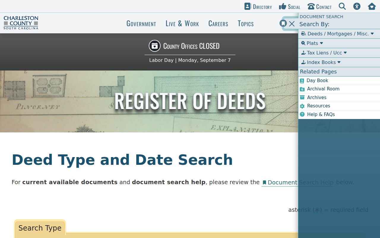
Online index and tracer data run from 1978 through the coverage date shown by the ROD, and images begin in October 1994. The office provides physical access for 1719-1960 and film or microfiche for 1960-2005. For earlier work, an online gap is a cue to use the counter, archival room, film, CCPL, or the South Carolina Department of Archives and History, not proof that a record is absent.
Charleston Address Case Files
City Customer Self Service, known as CSS, has an address-keyed public-records route for places inside the City workflow. Enter a City address or a prefixed TMS, using C before a Charleston County TMS and B before a Berkeley County TMS. Results can be limited to Permits, Plan cases, Inspections, or Code Cases. A case number opens documented areas for fees, reviews, inspections, attachments, contacts, sub-records, and more information, with CSV export available for current results.
City GIS Document Search supplies a narrower City-held document path for property or street terms, plats, ordinances, and other scanned records. It accepts an address or partial street term, but a City result does not mean the whole street is inside City limits. Confirm jurisdiction through City mapping where that distinction affects the record search.
Note: A permit contact or a code-case entry documents a particular project or case and should not be used as a current-residency claim.
Charleston Street Directory History
For a past block, the Charleston County Public Library holds the address-oriented material that a modern property portal cannot supply. The Charleston Archive identifies a street cross index for 1840-41 and street or reverse sections from 1890 onward. A criss-cross directory is a volume arranged from address or street toward its listed names, rather than solely from a name toward an address. Compare more than one edition and read nearby entries, because a listed person may have been present for one edition without appearing in a deed chain.
That historical route complements, rather than replaces, recorded title. The Charleston city directory collections are the fuller source for exact volume runs, access rules, and household tracing. For a street question, keep the task narrow: capture the volume year, printed street form, number, and nearby listings, then test them against the parcel history.
Charleston Street Numbers Shifted
Charleston's numbering history is a practical records issue. Buildings had no numbered addresses before and during the Revolution, and early systems changed more than once. Council ordered numbering south of modern Calhoun Street in 1848, then gradually aligned the area north of Calhoun after the 1850 annexation. The City pursued a survey in 1880-82, numbered houses and lots in 1884, and reported the work substantially finished by January 1886. Most current peninsular numbering rests on that project.
A 1901 centigrade proposal caused confusion and was effectively abandoned, while a 1983 9-1-1 effort corrected some irregularities. When an old number fails to match a modern parcel, compare neighbours in the relevant reverse directory, ward-book order, plats, and the legal description. The street name and number alone may not identify the same physical place across those changes.
Charleston Street Record Terms
Four short terms keep an address search from overreaching. They also help explain why the best next source changes as a Charleston street directory trail moves from a map to a recorded instrument or a historic printed volume.
- Parcel
- A defined unit of land in the county property system, commonly tied to a TMS identifier.
- Situs address
- The physical location of the land or building, distinct from an owner's tax-mailing address.
- Plat
- A recorded or archival map that can show lots, blocks, subdivisions, or other legal-description context.
- Criss-cross directory
- An address or street-oriented directory arrangement used to find historic listed names at or near a location.
For a vague older deed description, CCPL recommends looking at adjoining properties. A neighboring lot, ward entry, or Sanborn map can supply the geographic context that a current number lacks.
Limits of Charleston Street Records
A Charleston street directory cannot produce a complete list of everyone physically present along a road. Parcel and deed tools center on owners and recorded parties. Historic reverse directories reproduce what a particular edition printed. Utility customers, delivery recipients, motor-vehicle address data, sealed court material, protected vital records, and protected-address participants are not street-directory substitutes. A homestead flag is a limited tax-status clue, not a full household listing or proof of physical presence.
Lawful use. Use Charleston address records for a lawful personal, family-history, property, or civic purpose. South Carolina's harassment and stalking laws prohibit conduct that intrudes on another person's private life without legitimate purpose.
South Carolina's Address Confidentiality Program gives eligible participants a designated address that state and local agencies and courts must accept. The program does not erase earlier public material, but it is an important reason not to treat a record result as permission to monitor or contact someone. Section 30-2-50 also prohibits obtaining or using public records for commercial solicitation directed to a person in the state.